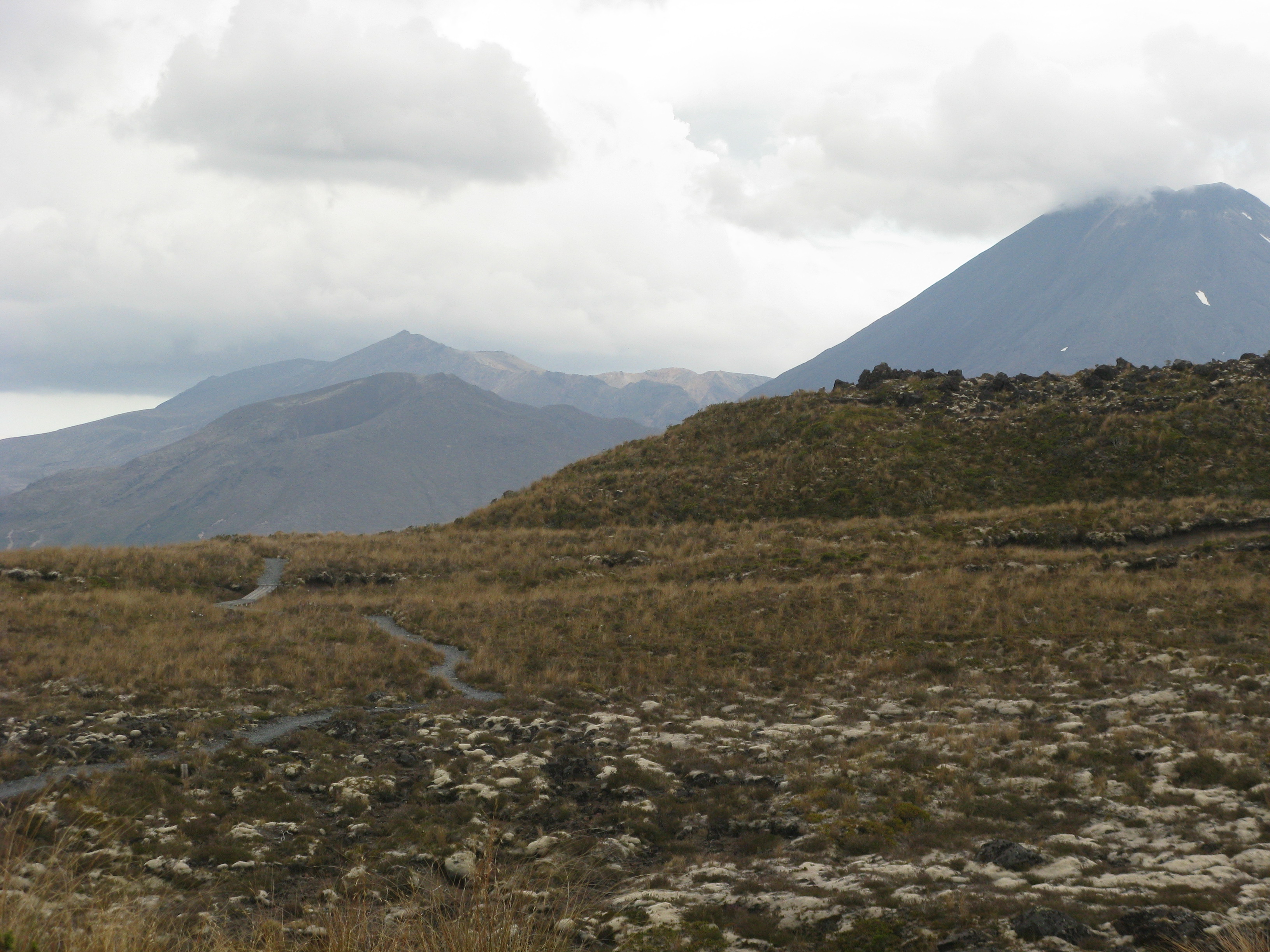
This past Monday at midnight –a timing that recalls Disney’s short nightmare animation of demons emerging from Bald Mountain – the volcano Mt. Tongariro erupted in the middle of the North Island, causing no injuries but spreading ash over a range of 200 miles. Tongariro sits in the mid-section of the North Island, so none of that reached Wellington about that many miles away. And we only knew of the eruption from family members in the States, so we’re just fine. Since then, the volcano has been quiet, though carefully watched.
Over the three weeks we’ve been here, we’ve been reading about the seismic activity still occurring around Christchurch, in the middle of the South Island, the city devastated by a big earthquake three years ago. Along with those reports come reminders that New Zealand is one big fault line anyway, and no place here in the Shaky Isles is immune to quakes. At least the plucky Kiwis don’t seem too concerned, as we also read reports about Christchurch’s plans to rebuild more structures destroyed in 2009.
Besides, we’re familiar with solid earth rocking and rolling around us from living in Los Angeles, where we endured quakes small and large (like the mid-90s one that knocked down most of the brick chimneys in our neighborhood). But those temblors in California don’t come with volcanic eruptions. And we visited a half dozen or so in Costa Rica last year without worries.
Anyway, we didn’t quite expect volcanoes going off, especially long dormant ones like Tongariro. It has not erupted since 1897. True, it’s near an area of geysers and thermal flows like those in Yellowstone, and scientists have already opined that this one was not a lava eruption, but effectively a massive geyser of superheated steam blowing the top off of things.
Still, it seemed quite friendly when we discovered it foot by foot in 2009, some months before the Christchurch quake, when we did the Tongariro Crossing, reputedly one of the great one day walks in the world.
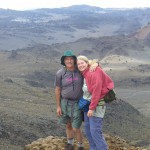
The Crossing, as it is called here, is an arduous 12 mile trek up 2600 vertical feet to the mountain, around its craters and then steeply down the 3600 foot descent on the other side.
Wisely, for miles adjacent to the volcano, there is little to mark human presence, only beautiful garrigue and scrubland and lava.
But, during the Crossing, you are rarely alone. Even the bumpy dirt road to the trailhead was heavily trafficked, with buses and vans arriving non-stop. We jostled with hiking groups of dozens or so. speaking all sorts of languages, and eventually a school group of 30 or more – all tributaries in the flowing stream of hikers. We had unwittingly arrived to do the Crossing on a New Zealand holiday, but apparently it’s pretty busy every day.
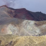
Beyond the exertion, the vistas make the trip truly memorable, not just the red and orange colors of the gaping craters you skirt at the top or the dazzlingly turquoise pools near the top, but also the other two volcanos looming nearby across the plains. Both have been dormant for a while.
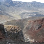
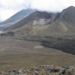
Mount Ruapehu erupted only two years before our trek, but still offers skiing during the winter (you can ski even now after the Tongariro eruption). while the shorter Ngauruhoe smokes all the time.
At the end of 7 ½ hours, with a final hurried slog over wet, muddy trails cutting through lush forest, and with just five minutes to spare for making the hourly van back to our village, we gratefully rested on the half hour ride back. We offloaded stiffly, like bow-legged cowboys, exhausted
and a bit sunburned despite the overcast weather. The next day we kept just the vivid memories.
It’s sad now to think of the now bedeviled Crossing as ashen and barren, perhaps harmed for a long time by the eruption, but we understand this is the natural form of renewal for a landscape that is, in many ways, breath-taking and will be so again.
(For more pictures from New Zealand, CLICK HERE to view the slideshow at the end of the New Zealand itinerary page.)


