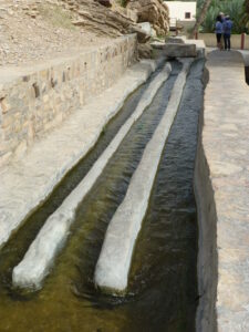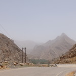
Driving 2500 kilometers around northern Oman, we found navigating quite a challenge, modeled perhaps after the wandering channels of water built for their ancient aflaj irrigation systems. (For more about the significance of the aflaj and the wayward roads, click here to read Aflaj: Channels of Water and Culture).
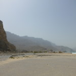
With modern mobile signposts – GPS and our new-found friend Maps.me offline maps app – we did well nonetheless. It helped to follow the water. We zipped down the coast from the Straits of Hormuz along the Gulf of Oman, or the Arabian Sea – from the Musandam peninsula in the far north through the capital city Muscat to where the coastline turns southward at Sur. Our companions all along the way were those distinctive slate-grey – and often slate stone – mountains of the Al Hajar mountain range.
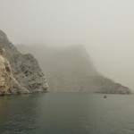
Up to 3000 meters in height, the mountains present ragged ridgelines and ever-shifting rugged surfaces like the wizened faces of older Omanis. In the Musandam peninsula, we explored the fjords formed from the tail end of the range – boating in a broad beamed dhow, kayaking and snorkeling. It was an experience somewhat less breathtaking than normal, however, because we found ourselves in the midst of a murky sandstorm during our stay.
The Al Hajar range continues south, running parallel to the whole northern coast, and collects the ocean moisture that supplies the aflaj irrigation.
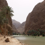
Some of this water, we found, spills to the sea through deep canyons known as wadis, many of which have running water year round. In an exception to the norm, there were clear signs pointing the way to the most popular of the wadis, perhaps because these oases have always been important waystations for travelers plying the trade routes of old.
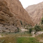
We first visited Wadi Shab and Wadi Tiwi along the northern edge of the range. Wadi Shab was a steep, wide cleft through which we could walk and rock-hop to lovely pools, buttressed by striated rock walls and large scattered boulders. A set of warm pools and gravelly banks led to a huge pool.
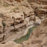
At its end we swam through a narrow passageway just big enough for a head to fit through. On the other side of the passage, we splashed around a vigorous waterfall spilling into an enclosed water-filled cave.
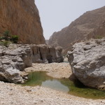
On the backside of the Al Hajar range, much higher up via a twisting road, we explored Wadi Bani Khalid. We chose to follow its less traveled section past a plantation that shared another aflaj irrigation system with a number of villages. Our path then crossed several pools and a very refreshing waterfall, which we had to ourselves for several hours.
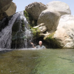
Upstream, where most visitors go, a huge pool contains diving boards and other amusements. But a bit of walking further up leads you to more secluded, highly enjoyable pools and canyon views as at Wadi Shab.
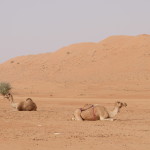
Heading back north along the backside of the range also gave us the chance to see the picture-perfect red desert dunes of the Wahiba Sands. As summer was almost here, the winds whipped up the powdery sand and obscured the sunset much touted by the camps at the here – we saw a fadeout rather than an actual setting.
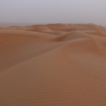
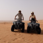
But that was a minor annoyance when, earlier in the afternoon’s light, we could bask in the beauty of the glowing desert, or follow its creamy bowls and scoops in a jeep ride. Then the next day we could thrill to the flying ascents and thrilling descents of quad bikes along sands where there were no roads and Bedouins moved slowly in the past.
Farther north, we explored several sections of that famous aflaj in Nizwa, down in its wide valley and high up at the villages that dot the upper reaches of the mountains. Those upper valleys are surprisingly green because of the irrigation system and the natural water flow, particularly around the highest section, Jabal al Akhdar, literally the Green Mountain.
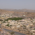
In one town, orchards of pomegranate trees, defined by brick enclosures, sloped down the hillsides around the town. In another, narrow terraces of vegetables and rose gardens stepped down most of a steep 500 meter deep valley.

We walked the aflaj channels among some of these, as the perfume of the roses filled the air.
About 50 kilometers away, in stark dry contrast to the greenery sits the stony Jabal Shams, the Sun Mountain, and the tallest in the range at 3000 meters. Here you find the Grand Canyon of Oman, about a kilometer deep from the summit to the floor below.
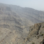
The air in both places was surprisingly chilly, a temperature shift Nizwa’s locals understand. In the scorching heat of the summer, those in the lower valley escape to the upper valleys for the cooler weather. But soon the high mountain farms may become just that, an escape for the valley dwellers.
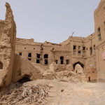
Many of the vegetable terraces are untended now as fewer and fewer Omanis stay to do the work. The oldest mud brick homes of the mountain villages have become mainly tourist curiosities, though some of the elders hang on. The young seemingly know the greener opportunities down below and in the cities.
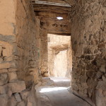
Everywhere you see what money can buy, as in the complete rebuilding of villages with stylish modern homes and the wholesale reinvention of the capital city Muscat. In vain, we looked for old Muscat, which once circled a central bay.
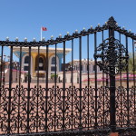
It’s mostly disappeared, supplanted by grand government edifices as well as the unappealing color bars of the palace of the country’s king Sultan Qabooz. A few older buildings, including the cultural museum of Bait Al Zubair, give evidence of the past life here.
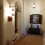
So does the roofed marketplace or suq though it now opens onto a renovated waterfront walk and a somewhat industrial harbor. Otherwise, Muscat’s charm has been winnowed out.
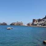
The emerging modern city sprawls far and wide away from the center in new homes, hotel complexes and malls. Even the most obvious features of old Muscat, the watchtowers on the peaks of the hills near the bay are oddly off-limits to visitors and locals alike.
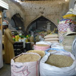
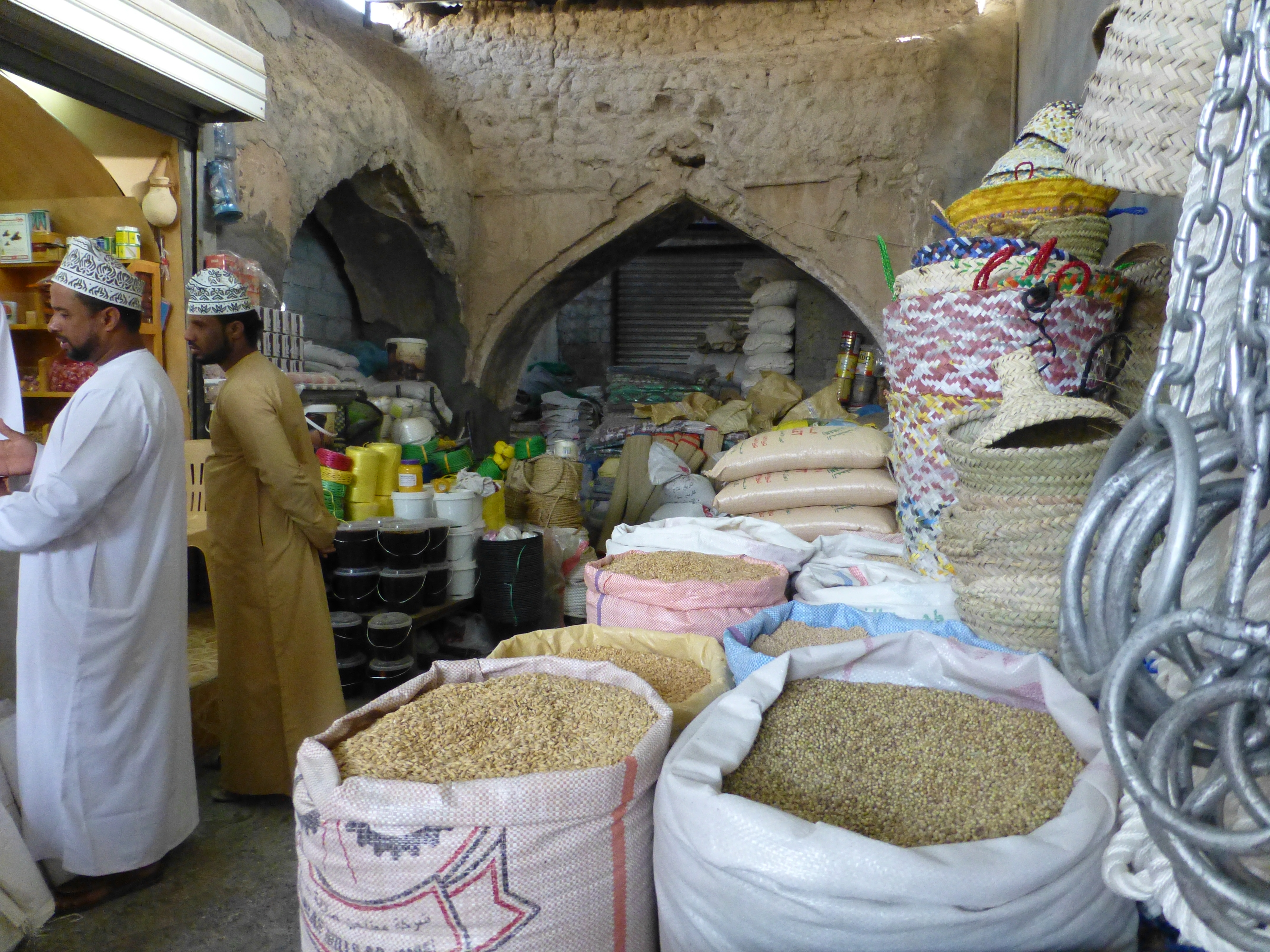
Still some of the best of tradition often survives in Oman. In Nizwa, the old suq buildings may have been refreshed and rebuilt, but they are just like the brick markets of old where, inside and out, buyers and sellers trade.
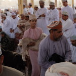
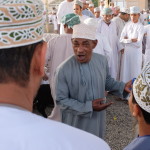
Nearby is the traditional animal market. On Friday mornings, the grizzled elders and young ranchers all gather in a covered, but open-air rotunda. Sellers parade, haul or carry their goats around the circle, seeking the right price from bidders in the middle and around the outer edge.

The buyers truly feel up the goods – withers, haunches, testicles, the lot – and make an offer. The sellers accept, negotiate or continue their march about. Efficient, organized – and the best of Omani traditions.
The waters of the aflaj, they say, run warm in winter, cool in summer. We too ended up running hot and cold about Oman during our 2500 kilometer drive: cool up in the mountains and the waters of the wadis, and hot in the relentless deserts; frustrated by the difficulties of finding things, yet charmed by the traditions and culture; disappointed by the loss of the past but appreciative of the forces causing that change.
Yet, we wouldn’t have missed the ride.
(Also, for more pictures from UAE and Oman, CLICK HERE to view the slideshow at the end of the UAE-Oman itinerary page.)


