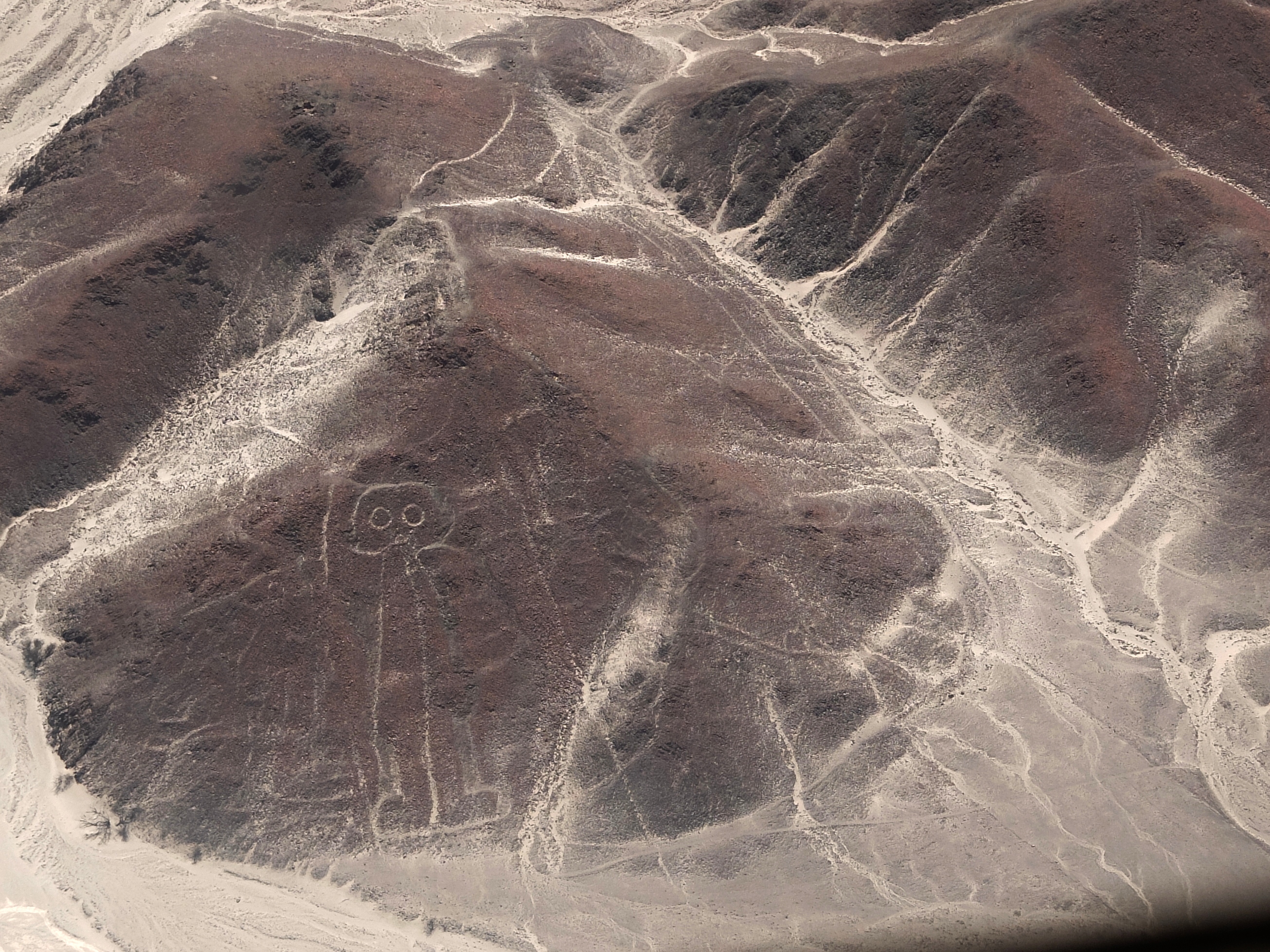
The World Heritage designated Nazca Lines in the south of Peru are a complex network of lines and geometric figures drawn in the desert sand by Nazca tribe members around 2000 years ago.
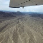
Spreading across 450 sq. kilometers, they are pretty much visible only from the air (or up high on some of the adjoining hills). So they weren’t noticed by contemporary people until over-flights after the 1920s. Amid these lines are several hundred figures ranging up to 370 meters in size, though the ones we saw were at most a third of that.
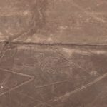
How did they do it? To create the lines and outlines, the Nazca people dug down only 10 to 15 cm, exposing light clay below. The stable desert climate ensured they remained, though occasionally disturbed by more recent human activity.
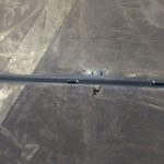
One example is lizard split by the Pan-American highway, whose builders were apparently unaware of the figure.
And why are these here? Numerous theories include astrological purposes, a map of the constellations, use in rituals, and as a form of prayer to the gods above. Whatever the reason, their artistry is amazing to see.
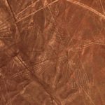
With all the criss-crossing lines and the somewhat symbolic style of the figures, they can be tough to spot. We’ve played with the photos a bit (and zoomed in tight) to make the figures as visible as possible. But even so, some can be elusive.
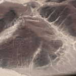
Can you spot them all?
(Also, for more pictures from Peru, CLICK HERE to view the slideshow at the end of the itinerary page.)


