Three mountain ranges come together in Chile at the Atacama desert, near the northern border with Argentina and Bolivia (with its Uyuni salt flats). Their meeting has created some extraordinary terrain amid the volcanoes – from salt basins to salty ridges, from the volcanoes themselves to a lunar landscape.
The alteplanico, the high valley landscape of the Andes, opens up at a breath-taking altitude of over 4400 meters (14000 feet plus) – a land of salt flats, colorful mountains, and lagoons attractive to birds like the flamingo.
Laguna at the foot of Miniques Volcano, which rises to 5900 meters, nearly 20,000 feet
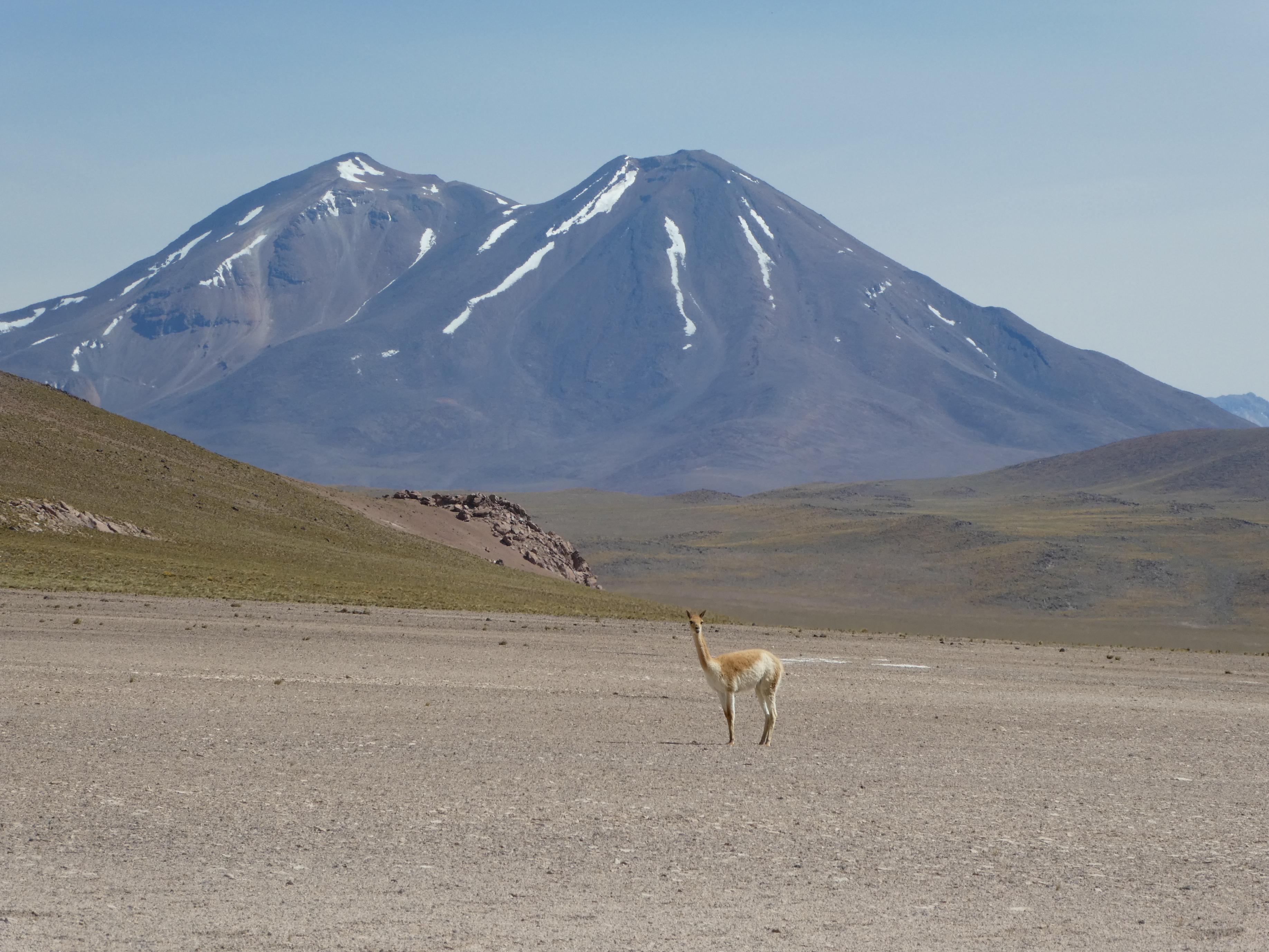
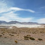
A friendly vicuna, a wild resident of the Andes whose nourishment and water (via condensation) come from the scrubby plants of the alteplanico.
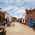
A typical street of San Pedro de Atacama, the principal town here and surprisingly full of restaurants, bars, hotels and other tourist resources
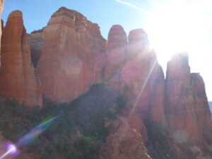
Piedras rojas, or red rock mountains along the salt basin
Panorama of one of the Salar de Aguas Calientes, vast salt basins with shallow waters, with the red rock mountains behind.

Old salts at the salt basin, Salar de Aguas Calientes, and Piedras rojas, the red rock mountains
Flamingos thrive on tiny krill, which are abundant in the briny waters of salt basins in the alteplanico, so several species gather here. Their pink color comes from eating the krill…the more intense the color, the older the bird.
Rugged, crystalline, wild, dry, colorful – and endlessly fascinating – is the Cordillera de Sal, the Salt Range of the Atacama desert. It’s the most unusual of the three mountain ranges that developed around San Pedro de Atacama (along with the high Andes volcanos and the Domeyque range giving passage to Argentina). It formed when the sea dried up and then the land heaved up the salty basin that remained.
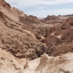
That process created caverns, dunes, corrugated ridges, valleys splashed with mineral colors and more.
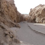
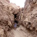
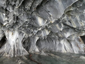
A wide path through the salt caverns. If you stop and listen very quietly, you can hear the ridges cracking in the heat due to expansion and contraction of the different minerals
Then, for about a kilometer, we followed a winding salt cavern – walking, crawling and high-stepping – through drippy crystallized features at the beginning of a lunar landscape called, appropriately, Valley of the Moon.
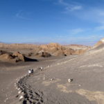
Climbing up the Great Dune is a slow trip. Yes, it’s steep, but it’s not so high. The soft sand makes the trip a lumbering one. The effort is worth it for the vantage point you gain over the rippling Valley of the Moon.
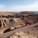
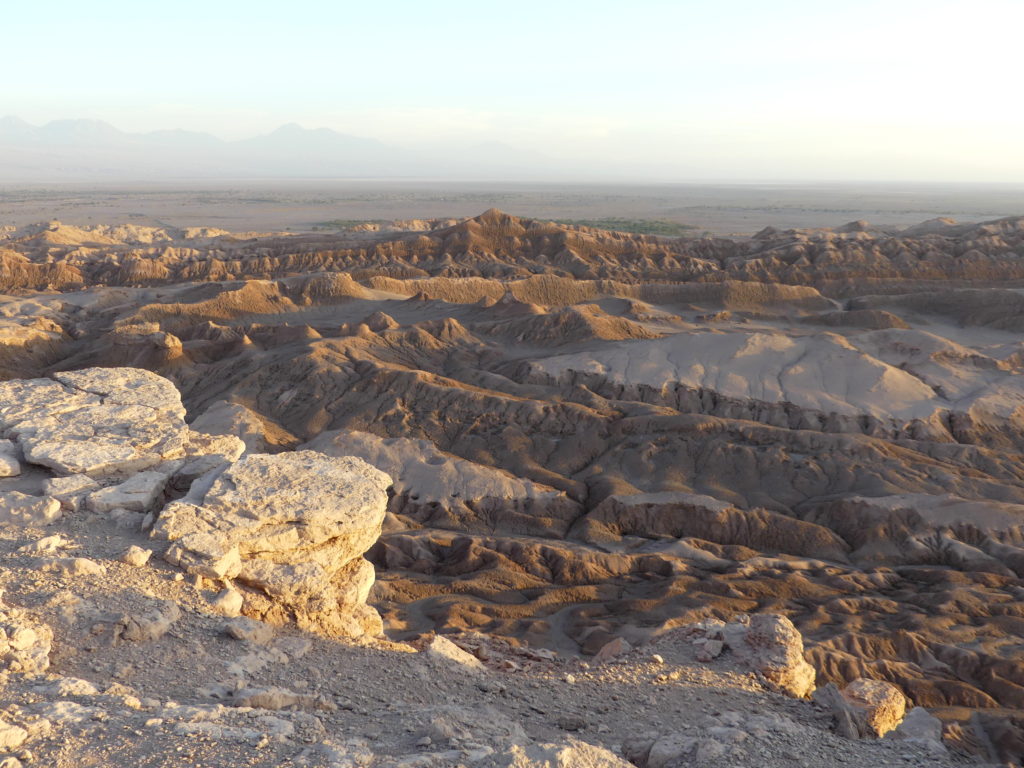
Overview of the Valley of the Moon from atop the great dune.
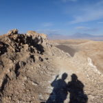
A late evening selfie at Valley of the Moon, atop the great dune, with the Andes in the background
Sunset overlooking the Valley of the Moon, the vast and aptly named area of caves, dunes, flats and craters.
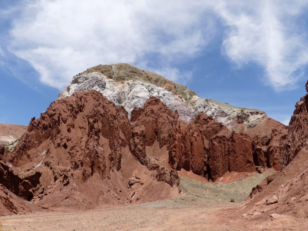
In the vicinity of the lunar valley is another called Rainbow Valley (or Arco de Iris), which features a painterly palette of minerals (and salts) naturally pushed to the surface and shaped by the upthrust.
The many colors of the Arco de Iris.
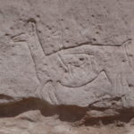
People have lived for eons in this seemingly forbidding landscape, raising llamas – and drawing them on rockfaces. This depiction is one of many rock carvings here, and one of he most interesting. It’s a pregnant llama etched in the rock about 10,000 years ago.
NOT a domesticated llama, or wild vicuna…but an equally wild, yet curious, relative known as guanaco, which also lives off the water vapor from deposits of Alpine fog on desert plants.
(Also, for more pictures from Chile, CLICK HERE to view the slideshow at the end of the Argentina and Chile itinerary page.)


