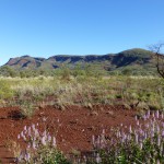
You need a leap of faith to travel all the way to Karijini National Park, where beautiful river gorges are the most prominent features. But thanks to a friend’s advice, we took that leap and were glad we did.
It’s a long trip from anywhere. Straight from Perth, it’s 1500 kilometers away. From the beautiful coral coast and the Ningaloo reef, it’s still over 600 kilometers away. Broome to the north is over 1000 kilometers distant. And the high desert you pass through, though beautiful in the subtle ways of a dry landscape, still varies little along the entire journey, with few other highlights for diversion.
Arriving at the huge national park (over 600,000 hectares or a million and a half acres), you can still wonder why all the fuss. The broad desert plains seem a lot like the ones you just traveled through to get here. The landscape is interrupted by many more mesas and peaked mountains rising about 300 to 500 meters higher, both limned by strata of red rock escarpments. Yet they just seem to be heaps of the same stuff as the plains. Even once you’re close, you’re not there: the gorges are nearly 100 kilometers from the nearest town on the west, Tom Price, or over 200Ks from the nearest on the east, Newman.
Most Australians know Karijini by its reputation. Relatively few visit it, however, except for those already living in Western Australia or the “grey nomads” who meander the northern and western coast in their campervans. Most foreigners get nowhere near it. So our original plans for visiting the west coast did not even consider coming to Karijini. But then our friend in Perth told us not to miss it, so we rejigged the itinerary.
Now here we were at last, wondering where the promised gorges were hiding in the desert landscape, as we could see little sign of water anywhere. It’s all very dusty too. The unevenly maintained red clay roads are still fairly easy to manage in the dry season of winter when we visited, as they are in the brutal dry heat of summer. Still we were glad we switched our rental car to a 4WD one. When rains do come, though not that often, it’s a muddy mess. Even the asphalt roads on the way are a challenge, as attested by the two meter tall markers at the innumerable “floodways” crossing the roads.
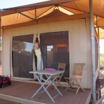
Many visitors set up their own tents or campervans in the two campgrounds here. Without those, we settled in at the pricey eco retreat, which offers ample tents and nice bedding, but no heating so as to remain environmentally friendly. Water is solar heated: no sun means no hot water either. The temperature was quite pleasant for our first two days when the evenings were mild, but a challenge to keep warm when the temperature dropped to 5 degrees Celsius (about 40F) on the third day, while the wind swept constantly through the porous tent.
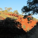
Once you find the gorges, though, it’s all worthwhile. We had two full days to explore here, just enough to see seven of the nine accessible gorges, while walking all or parts of three of them – Weano Gorge, Dales Gorge and Hamersley Gorge, the most remote of them. But we could have spent over a week with great pleasure, not even counting the opportunity to ascend Mt. Bruce, the second highest peak in Western Australia.
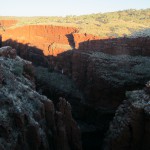
At the rim of the gorges, you can enjoy numerous spectacular views down into them, most of which plummet steeply 100 meters or more from the desert plains. These narrow canyons obviously don’t have the scale of the Grand Canyon in the States, but much of the sandstone on their sides show similar colors. At Oxer Lookout on the western end of the park, several gorges converge and offer the most expansive, breathtaking view in the park from the rim. Throughout the day, the colors emerge or fade as the sunlight shifts position and angles, though the sunburnt red of iron-rich rock dominates the color spectrum.
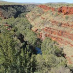
It is no surprise that iron ore is central to the booming mining industry in the surrounding area and to the north, as it is readily extracted to meet the ever-growing demand for steel in China and other nearby Asian countries. (Click here to see our post on road trains.)
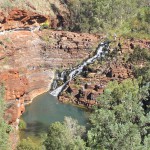
Down below inside the gorge, however, is where the fun is: waterfalls, delicate but lovely, even in the dry time; numerous refreshing pools to swim in, none the same. You can hike down and through each of these gorges. Some of the descents, such as at popular Dales Gorge, are quite easy for most people. A number of wobbly walkers were still able to make their way up and down the friendlier paths. Some are more challenging, at times requiring rappelling gear and high grade climbing skills to negotiate.
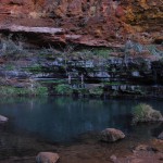
We too found Dales Gorge a treat. We tried out Circular Pool at the eastern end of the gorge, mostly unlit at the bottom of a cylinder of rock. Though it was chilly at the end of day, the setting encircled by cliffs and boulders was extraordinary.
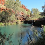
At the other end, was Fern Pool, a large translucent pond in more of a glen, with a pair of small waterfalls at the far side to play in or watch from the ledge behind. Most people chose to savor the more spectacular pool between the two at Fortescue Falls, where the water tumbles down a channel carved through a semicircle of terraced ledges that form a virtual arena around the pool.
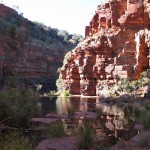
We were one of only a few people who followed the stream by walking the gorge from one end to the other. That in itself was a spectacle that we enjoyed for an hour or two, a mix of eucalypt forest, gently stepped levels, boulder climbing, ledge hopping and steep cliff walls brilliantly colored by the afternoon sunlight.
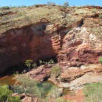
To explore Hamersley Gorge, we had set out early because of its remoteness, over an hour’s drive from the other gorges. Though we had uncovered little information about walking here, we had to go there because of a wondrous sunset picture of the spot we had just seen online at National Geographic. But, as a result of our early arrival, we had the place to ourselves for about an hour.
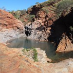
We never did figure out how we could walk the gorge, but instead we were able to enjoy some quiet swimming in two of Hamersley’s terraced set of pools instead. Hamersley has much shallower cliffs than the others, but these are distinctive for the waves of stressed and compressed rock layers – iron, limestone, granite.
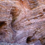
The colors in the layers change dramatically at different times of the day, a reason to come back to the same place repeatedly. At the sunny upper level pool, amid striated boulders, we swam the cool, but comfortable waters, peeking through a crevice at Spa Pool, a tiny pond and waterfall above it.
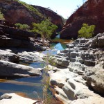
In the mottled light of the lower level, we swam for a while through the narrowed channel between the steepest cliffs to where the river began to run through forestland and shallower banks. When the crowds started to show up, we left happily.
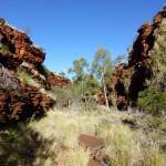
Weano Gorge was the third one we spent a lot of time in. The trail through the narrow gorge was full of trees reaching for the sunlight often blocked by its steep red cliffs. We had it mostly to ourselves, as visitors tend to skip the lovely walk and enter the gorge by way of a stepped descent downstream.
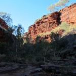
They are aiming for the much touted Handrail Pool, a spectacular circle of colorful rock cliffs and icy water accessible by, yes, a short handrail.
Fortunately, we arrived later in the day, so once again we had the last section of trail and the pool to ourselves. This section requires you get wet since it’s nearly impossible to crab-walk along the ledges without going into the water to your waist at least. So we stripped to bathing suits and walked barefoot through the streams and shallow pools along the way. The toughest part for tenderfeet was the pebbly ground in between the watery sections.
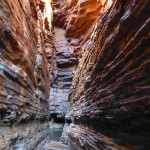
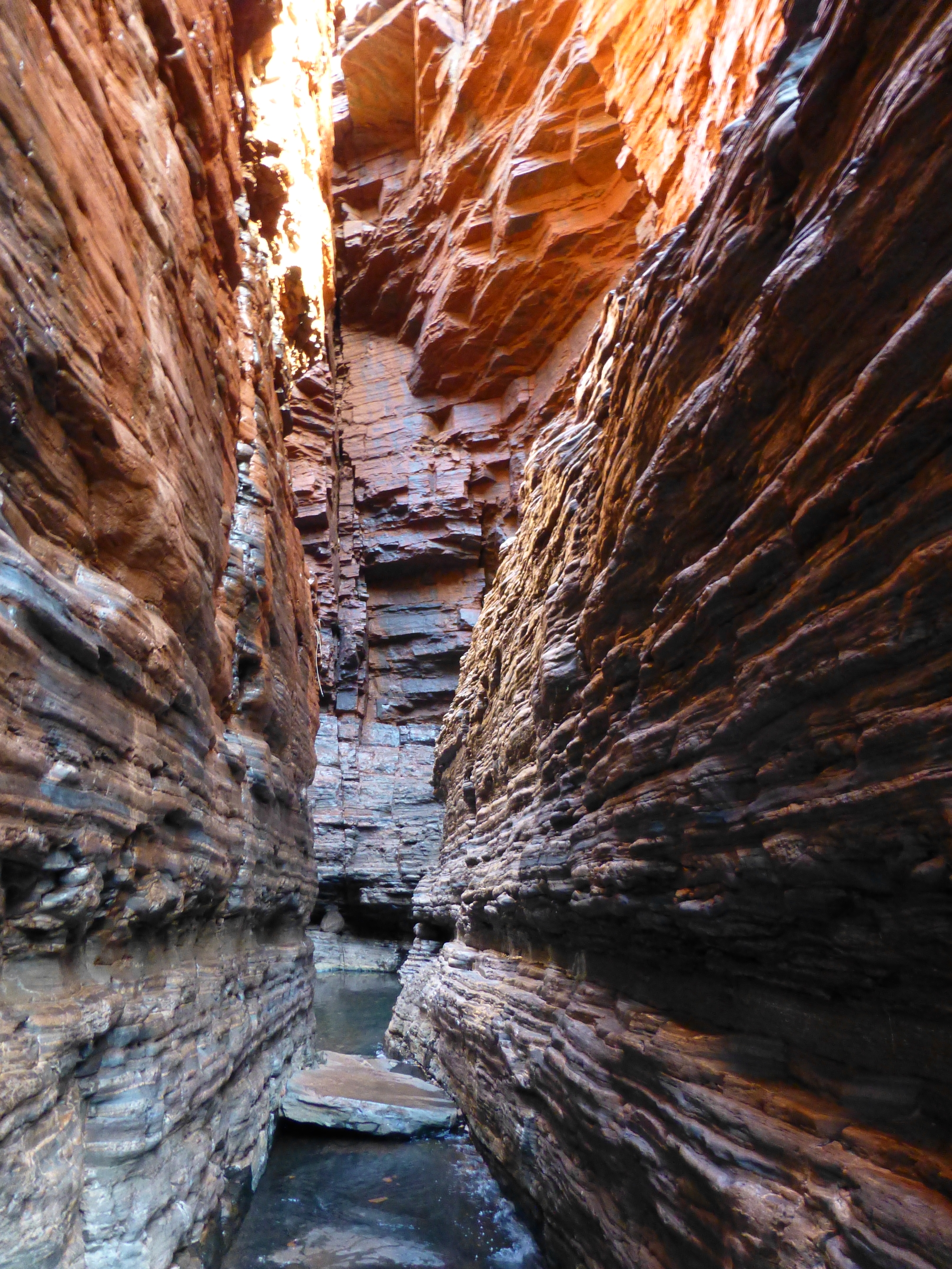
Just before reaching Handrail Pool, we came to a tiny pool nearly enclosed by vertiginous cliffs, then slipped through a narrow passageway where the stream trickles along smoothed rock.
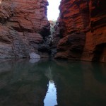
Soon, at the top of a short waterfall, we suddenly came upon the wide open Handrail Pool, then used the handrail and some rough stone steps to navigate the final descent into the very, very cold water. With the remnants of sun up high on the cliffs, we could see how the colors would shift and burnish from the changing light as it filtered into the pool (Click here for a panoramic view of the pool at 360cities.)
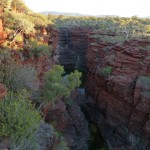
At the end of our stay, we felt enchanted by the splendor of Karijini and satisfied with what we had experienced. But we knew we could enjoy the park for many more days as well, viewing the gorges at different times of the day, or travelling into and through the others. From the top, they can all look the same; from within, they turn out to be so different. We briefly viewed Joffre Gorge, for example, which featured one of the tallest of the waterfalls rippling down mottled cliffs shaped like an ice-cream cone. Far on the other side of the gorge, a family was descending a trail of terraced stone to get closer, as we ourselves might have done on yet another day.
The inexhaustible charms of Karijini: difficult to get there, yet tough to leave.
(Also, for more pictures from Australia, CLICK HERE to view the slideshow at the end of the Australia itinerary page.)



Wow. I’m so glad to hear your adventures in the canyons. I didn’t know they existed.
As we noted, the gorges are known across Australia but don’t get the visitors, foreign or domestic, like the renowned Uluru, or Ayers Rock, that great hump of reddish-orange in the center of the country. Uluru nonetheless remains the bigger attraction, perhaps in part because of its colorful iconic shape, captured in endless glossy pictures; perhaps in part because of the rail access to it, on the equally famous Ghan. And you’re not even supposed to do the famous climb anymore out of courtesy to the tribes that consider the mound sacred. We felt we found a lot more of interest – and a lot more to keep us engaged – in the deep red chasms of Karijini than we found in the area of Uluru.