In brief: We feasted on two remarkable experiences to the east of the Lower Caucasian Mountains of Azerbaijan – the Candy Canes and the road from Quba to Xinaliq.
In the first of two trips into the Lower Caucasian mountains, we went north along the coastline of the Caspian Sea to reach the eastern side of Azerbaijan’s range of peaks. (For the second trip north to the high and the holy, click here.) Two areas in particular delighted us.
Candy Cane Mountains
Our first reaction was astonishment. We had passed through a featureless desert valley a few hours north of Baku, bordered by arid mountains on one side and the Caspian Sea on the other. We turned into a mountain pass alongside a trickle of a stream and more dry mountains.
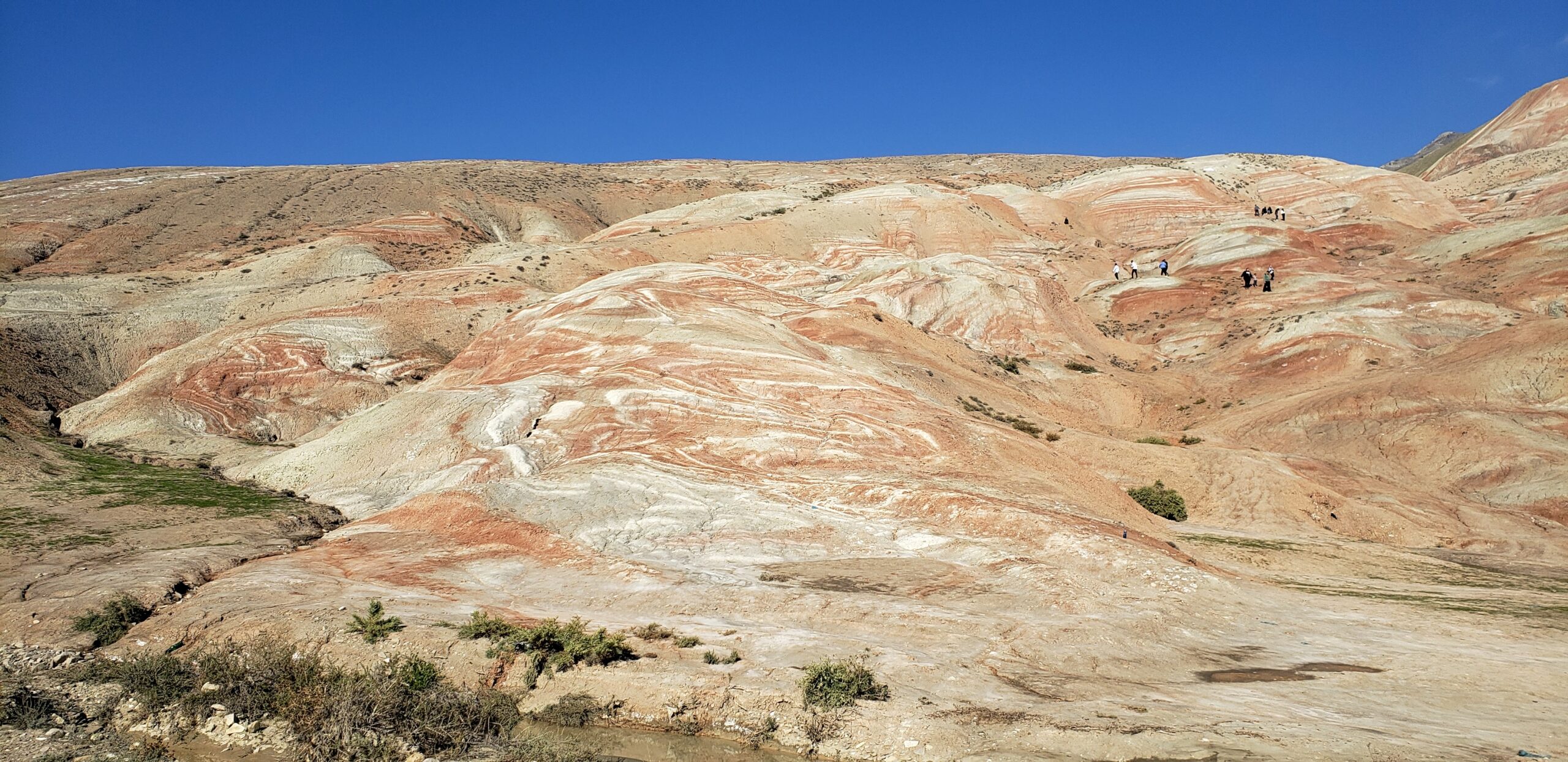
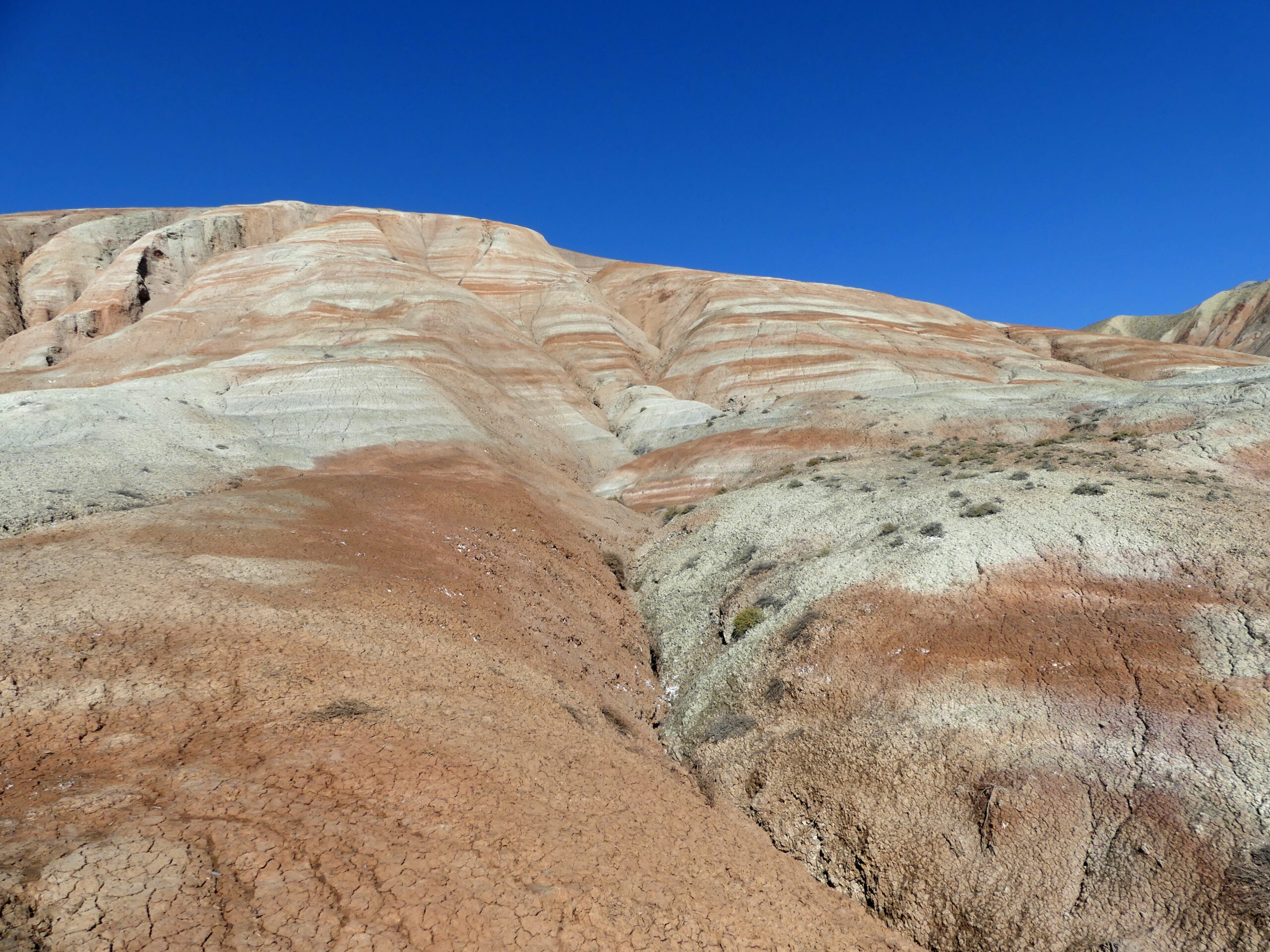
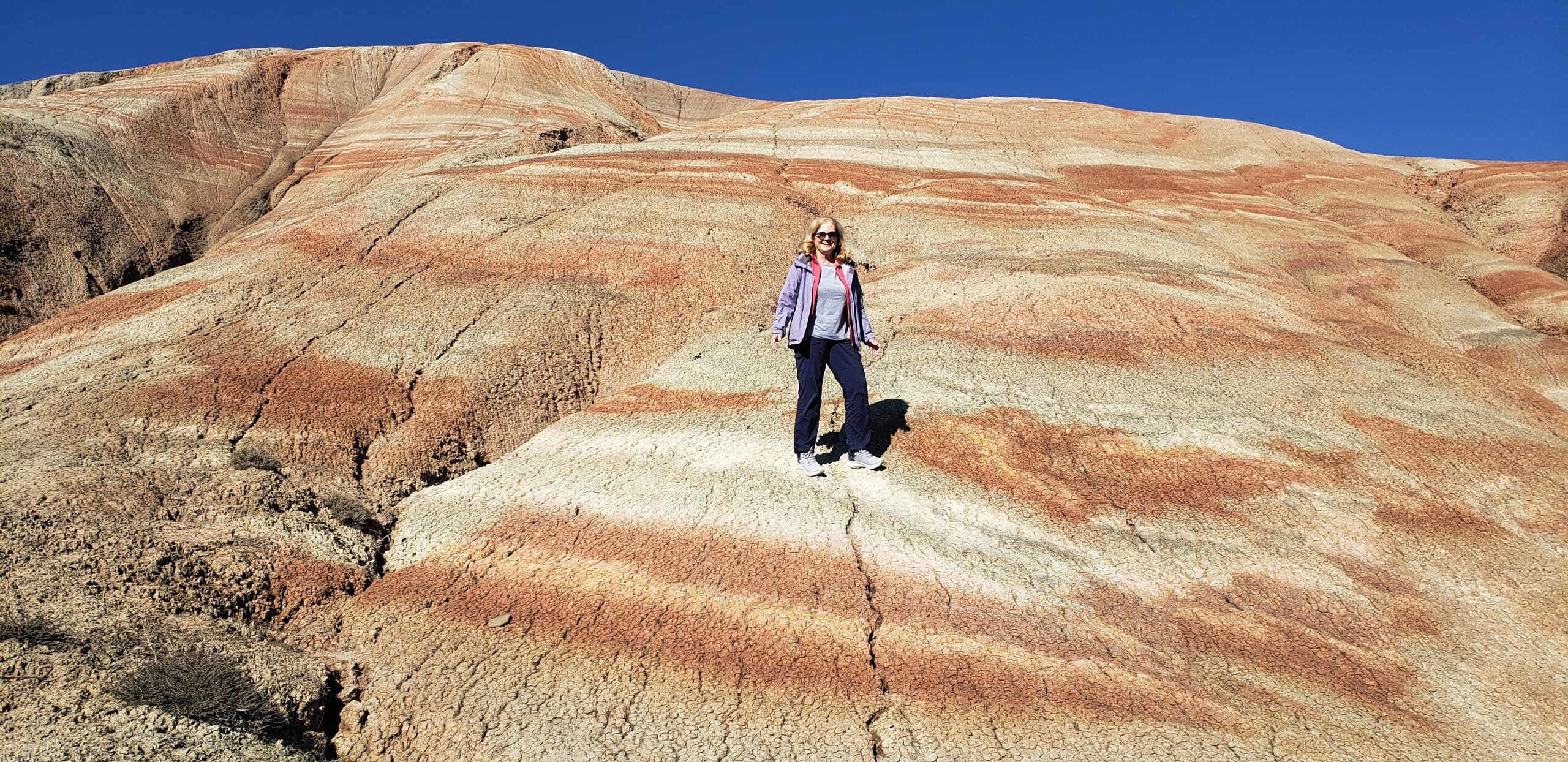
And then there they were…the broad range of hills rightly called the Candy Cane Mountains – stripes and swirls of red and white from top to bottom.
Ancient layers of sediment formed shale here – and trapped fossils. Exposed to air and water, the layers that contained iron turned red; others remained white and gray. Erosion eventually revealed the current result: a sweet feast for our eyes.
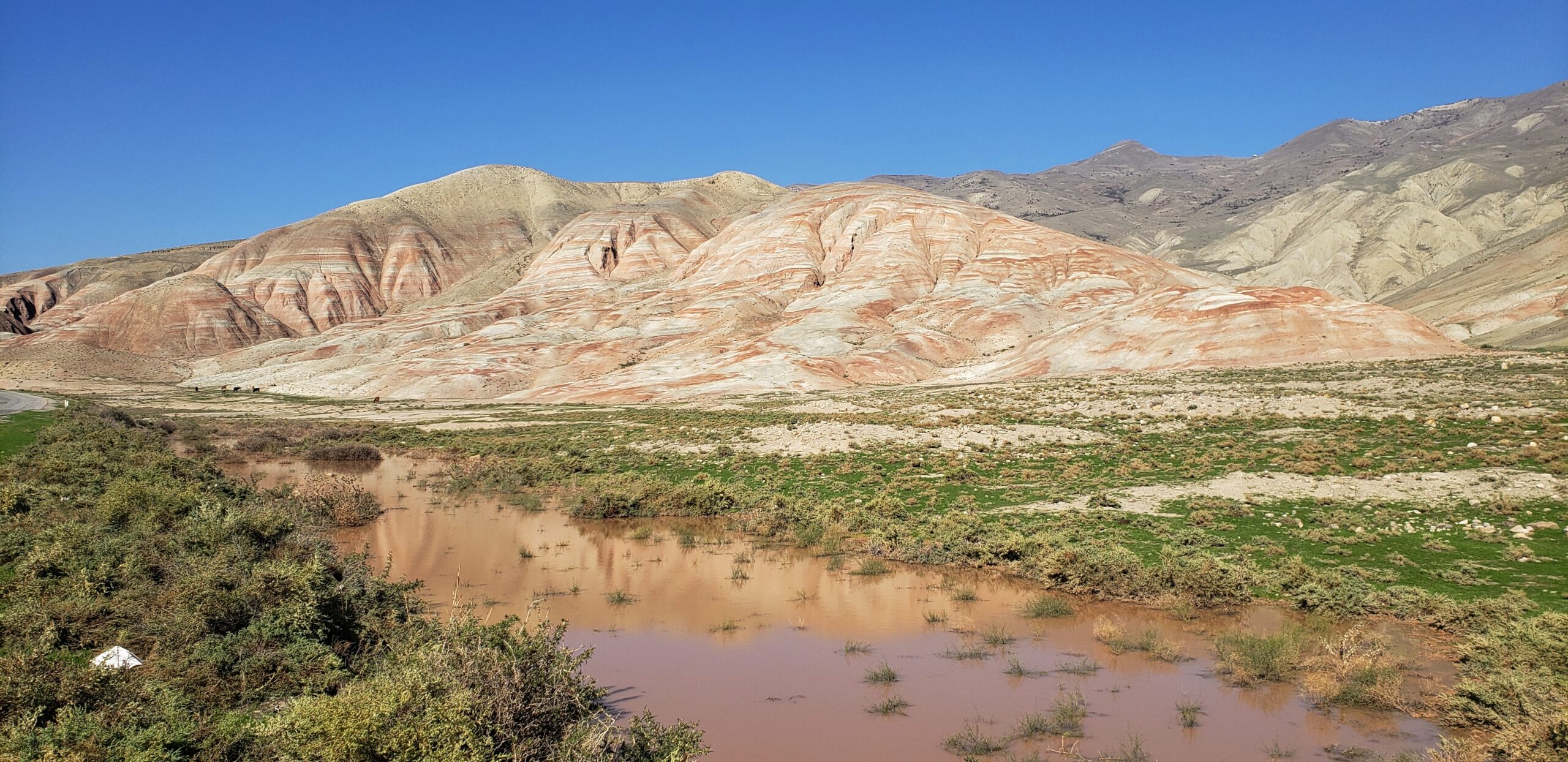
This was another section of the hills, which stretch for many kilometers along the valley, where the mountains were partly reflected in a bit of water.
We climbed one set of hills for to see the colors up close. The surface was strangely rugged, like sand or other minerals hardened into popcorn shapes. And the hills proved a lot steeper than they looked.
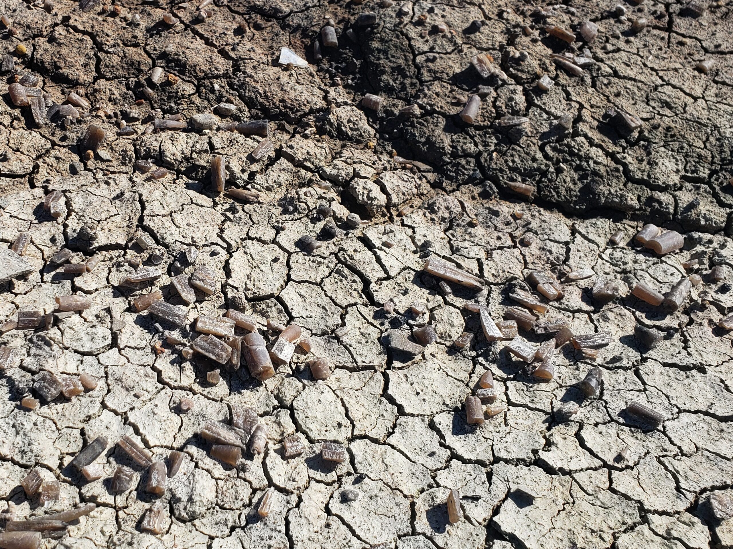
We found these odd little tubular shapes all over the striped mountains, many looking like bullets due to their pointed ends. The largest we found was about 3 cm in length, about an inch. They are actually fossils, the rostrum or butt end of Belemnites dating from 200 million years ago in the Jurassic and Cretaceous period. Belemnites were cephalopods like squid.
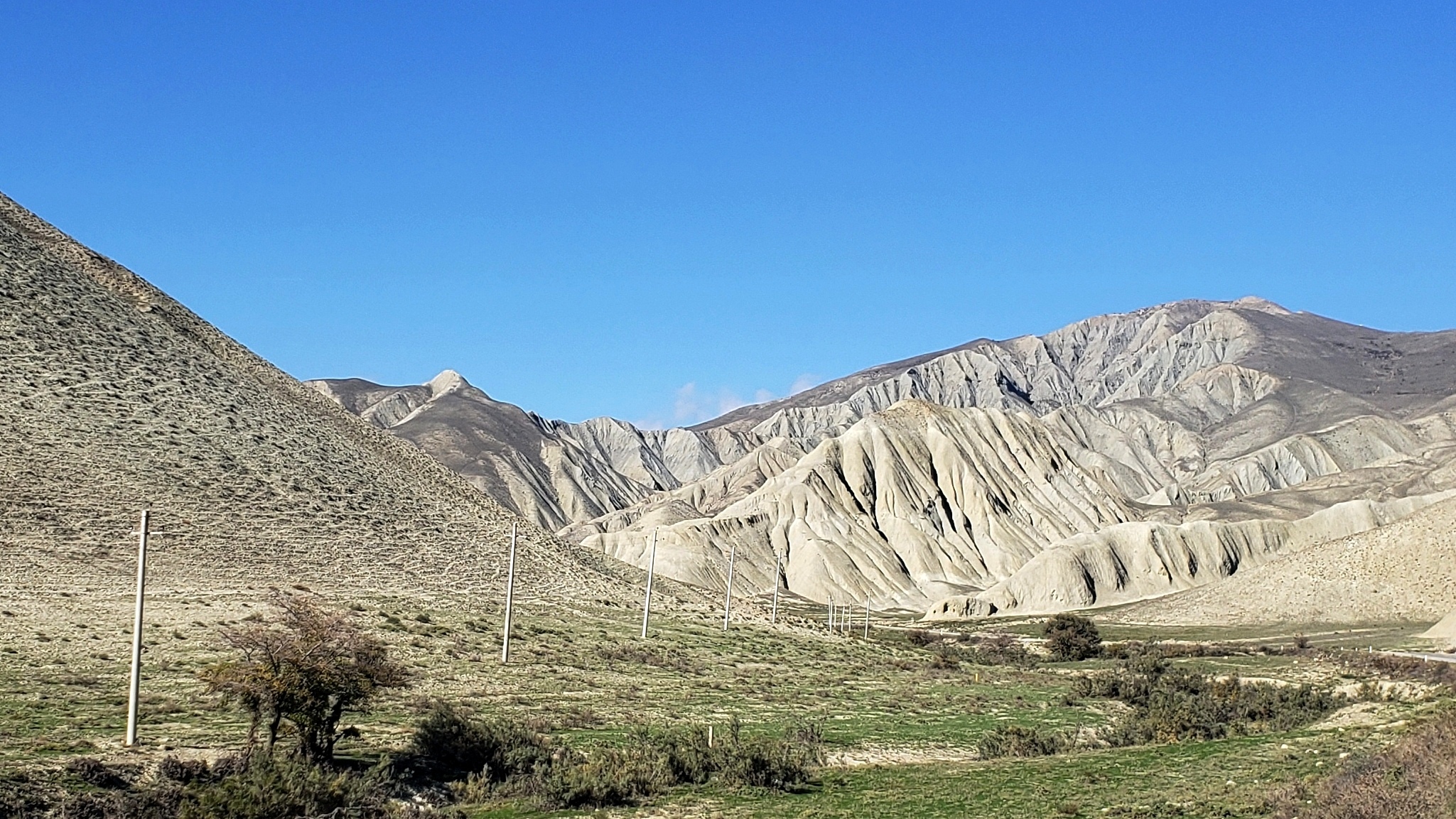
The dry mountains we passed held a power of their own, visually striking due to their erosion patterns over the ages.
Quba
Farther north, Quba is the largest town in this area, not even 50 kilometers from the Russian border. It occupies a long river valley and a high ridge. It’s two towns in a way.
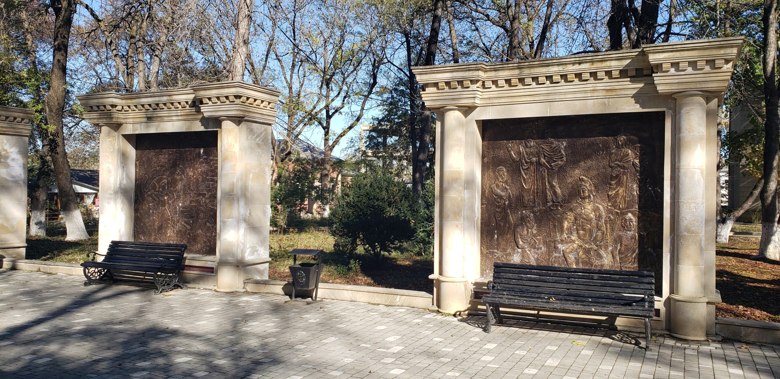
The old town along the southern bank is filled with parks in its center like Nizami Park, which spills down to the river valley.
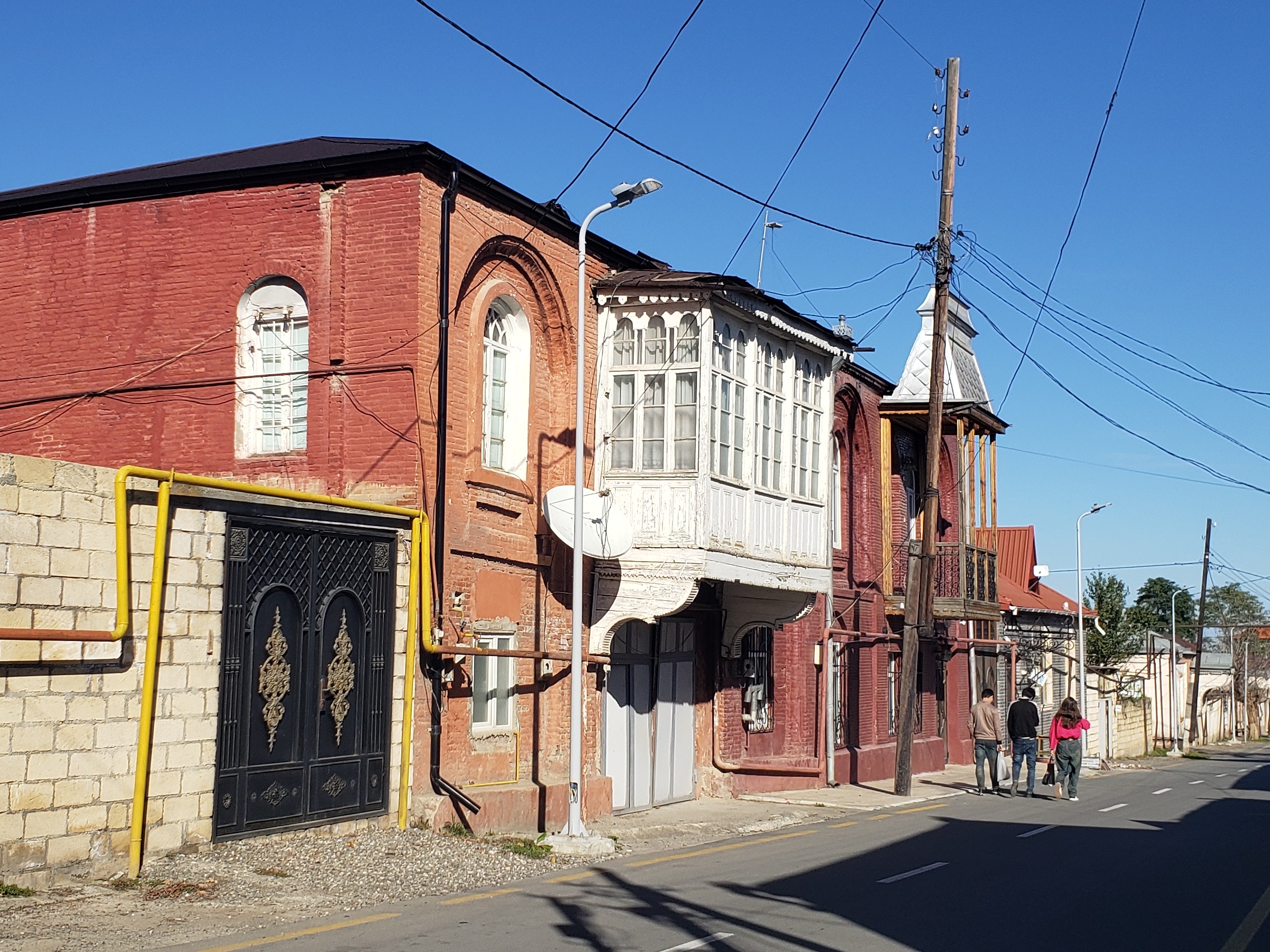
In the valley, the old town consists of modest, but quite charming buildings on quiet streets like this.
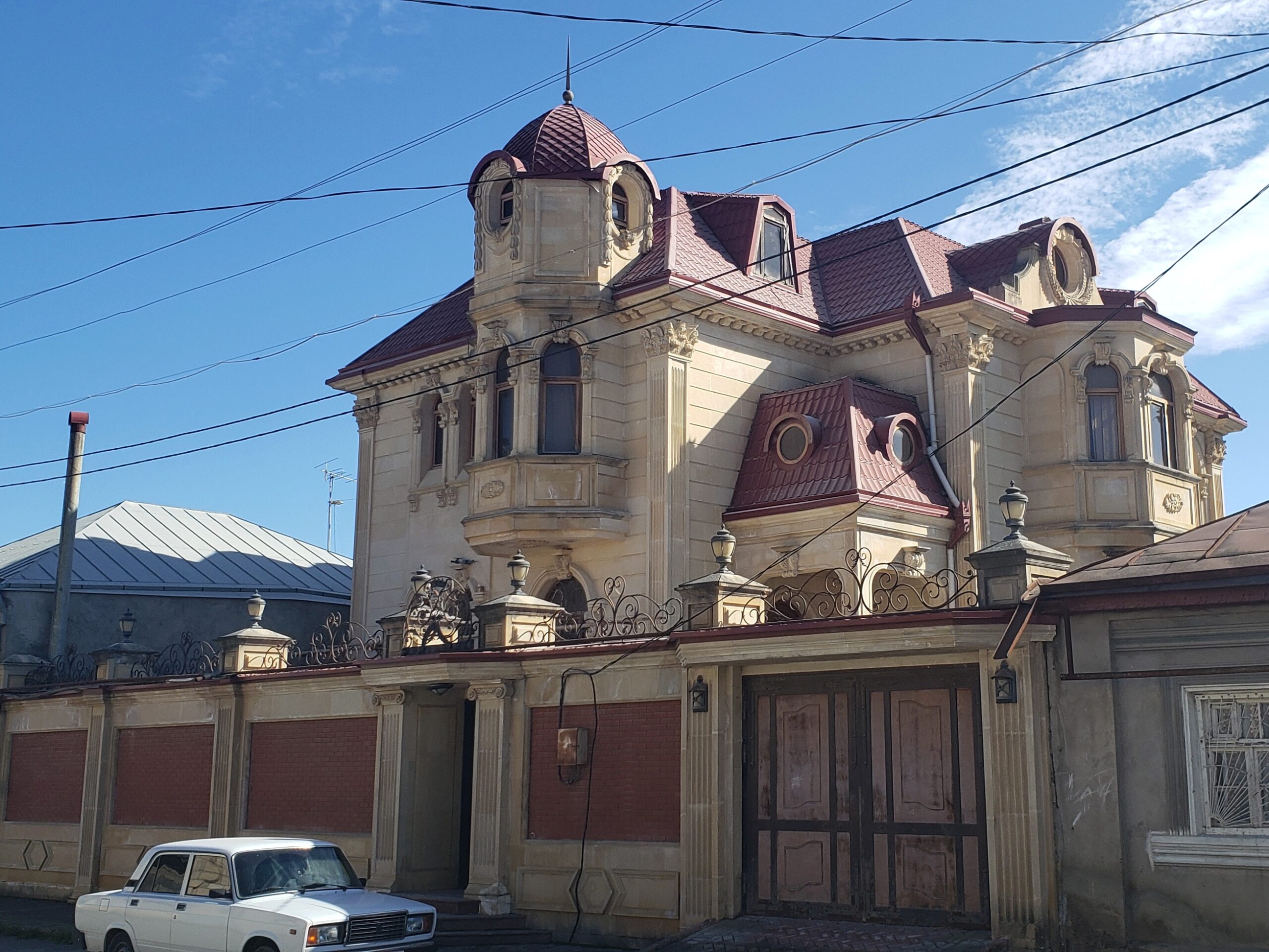
On the northern hillside up to the ridge, numerous century-old villas line the streets. This was known as the Jewish Quarter, an indication that the Jewish population flourished within this Muslim country.
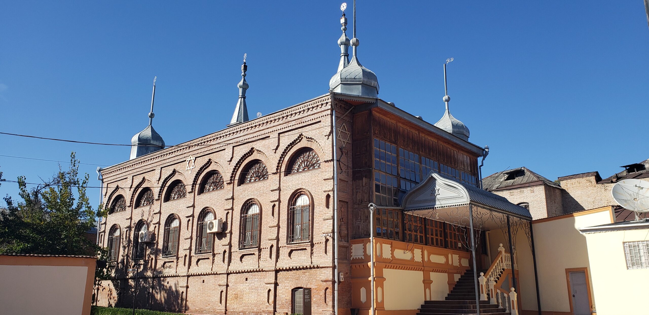
Also in the Jewish Quarter, next to the river in a section of confusing narrow streets, is this impressive late 19th century synagogue, aptly called the Six Dome Synagogue.
The Long and Spell-binding Road to Xinaliq
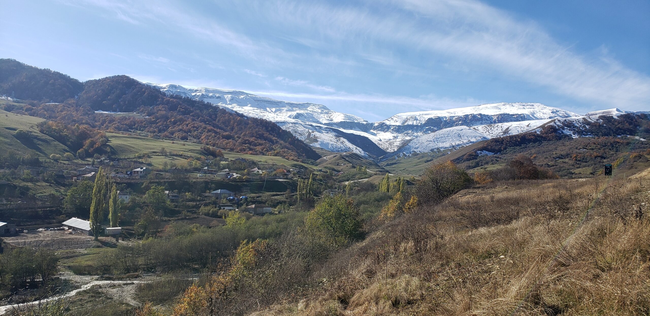
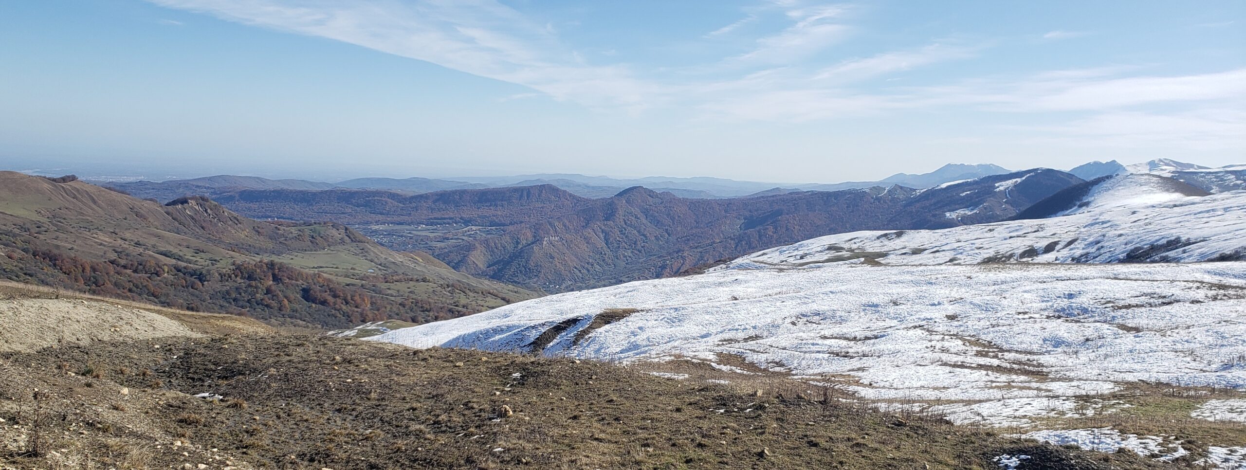
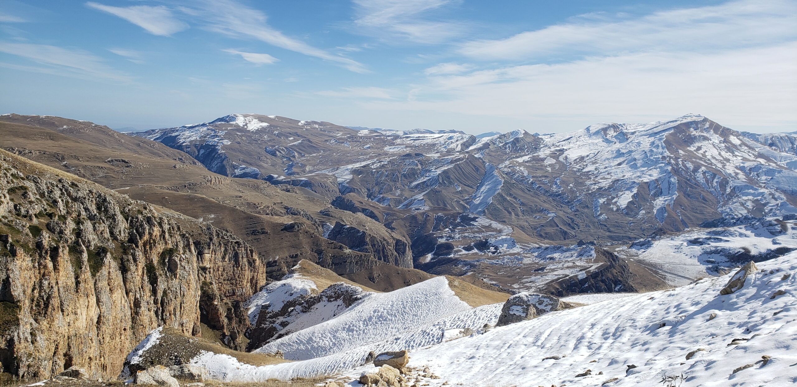
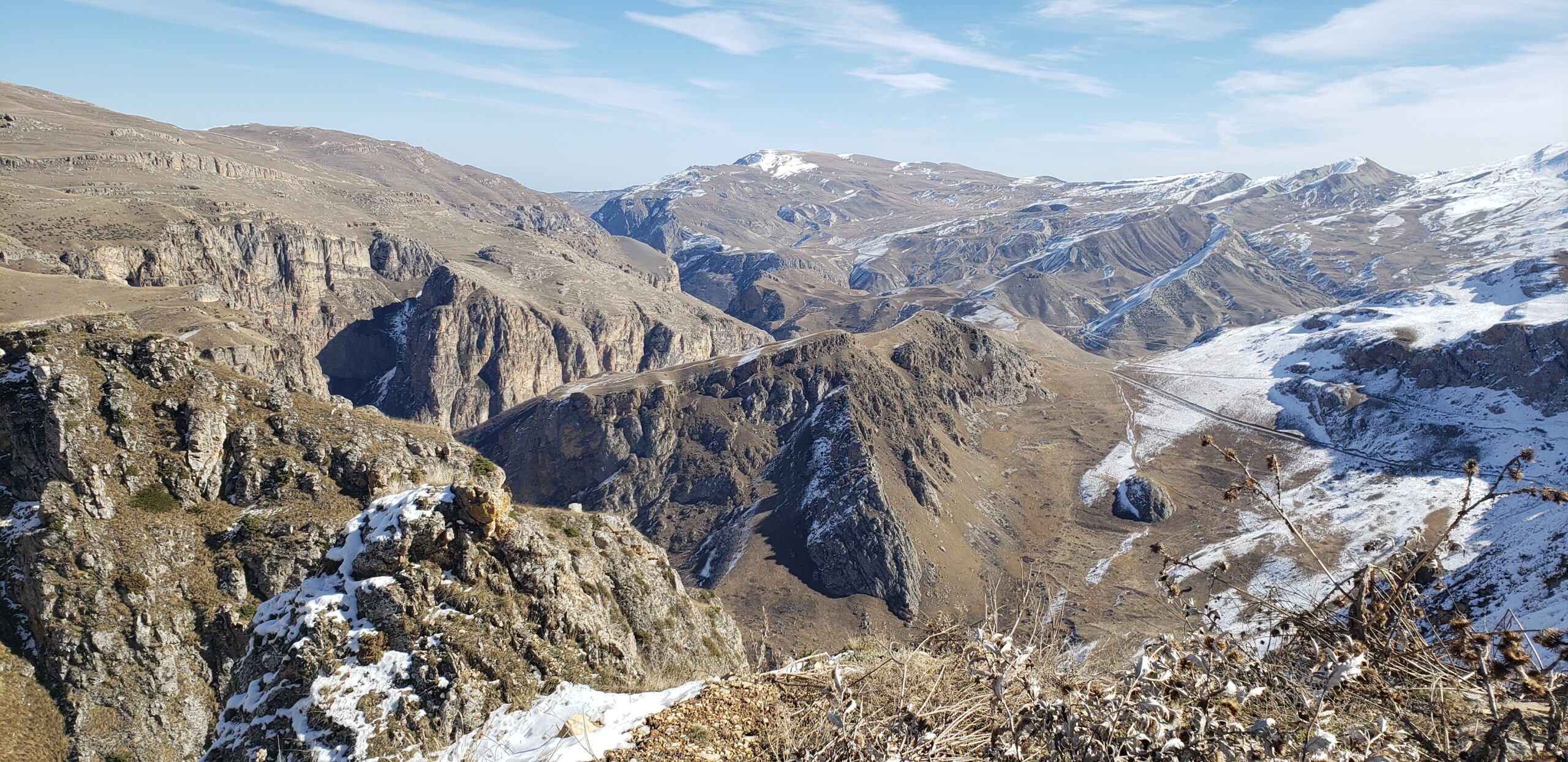
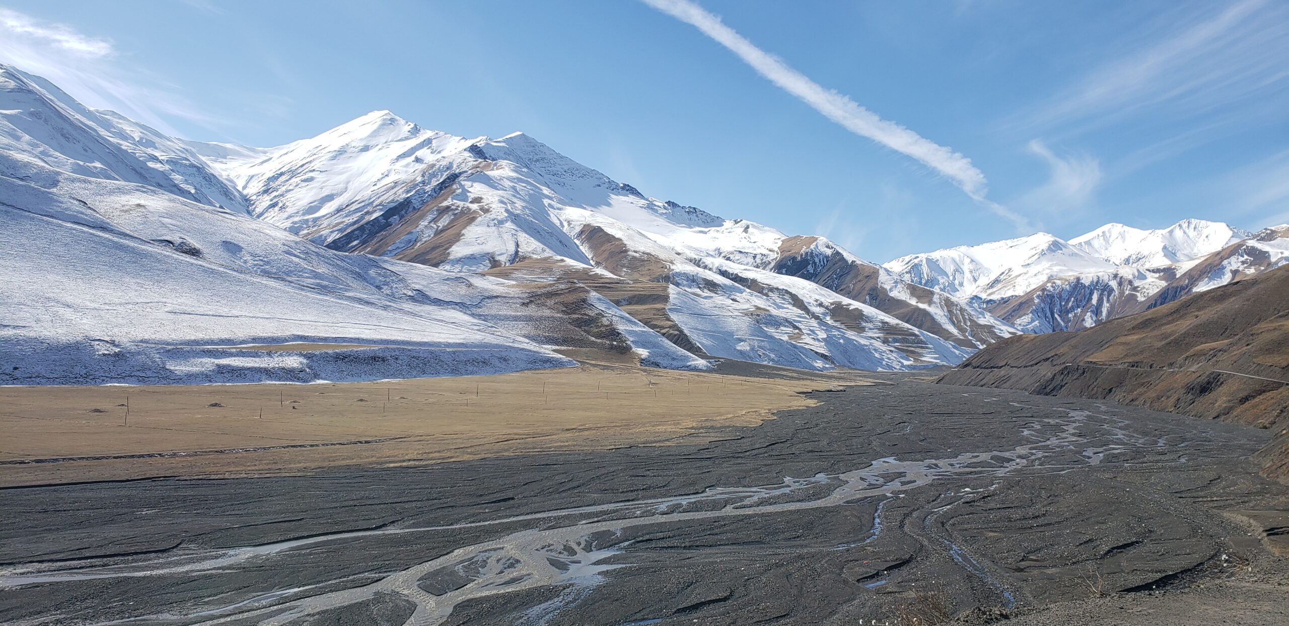
We spent hours winding up and down steep terrain along the road from Quba to Xinaliq, stopping and gazing in wonder at all the natural beauty. It was a perfect time to meander the lower Caucasus Mountains here. Snow had blanketed the highest peaks and dusted the lower hills, while the valley floor was showing fall colors. The road was clear of snow and ice, though there were many piles of gravel to use when travelers needed it. And there was little traffic we needed to ease by near drop-offs. At road’s end, we wandered among the stone houses at Xinaliq, a surprisingly large village spread over a steep hillside that offered its own breath-taking vistas.
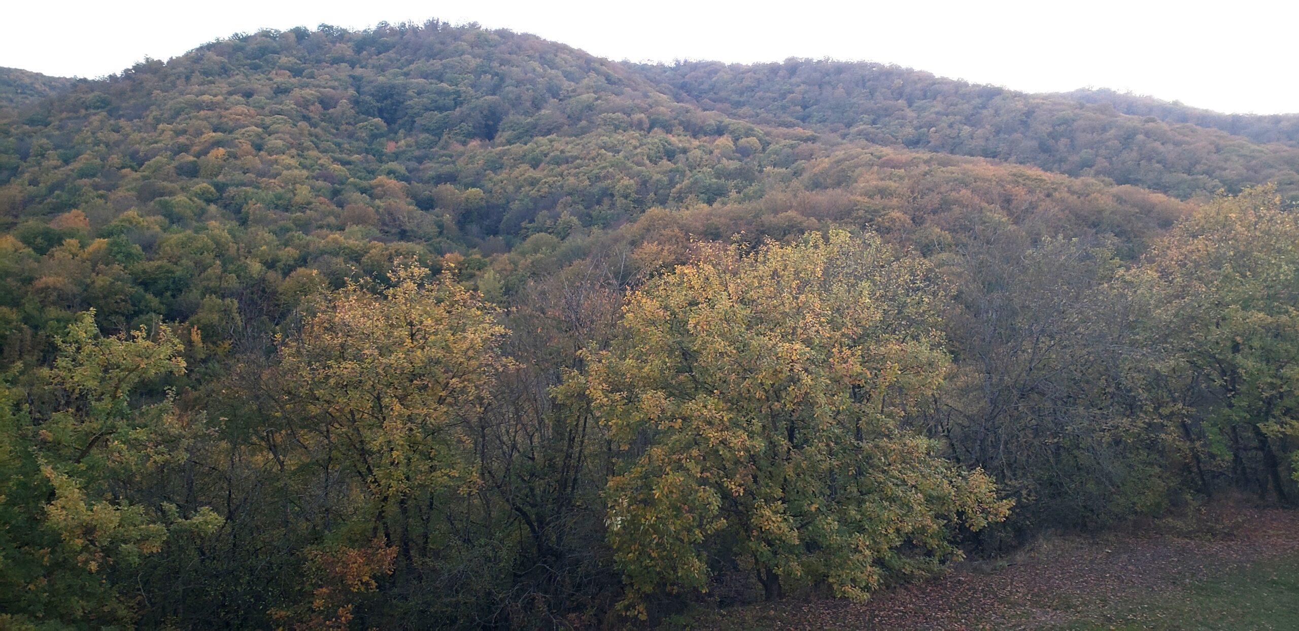
At the start of the drive, in the lower valley, color had painted the leafy forest.
A last look at the green valley leading up to the mountain road.
A look back at the lower hills and green valley from which we started the drive.
At a junction of roads leading to two different villages, this vista over the Caucasian Mountains made us stop and stare for a long time.
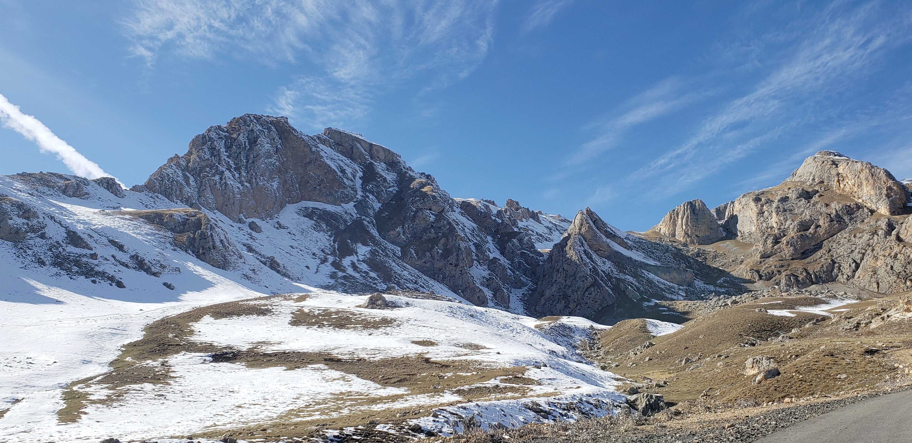
Mid-way through the drive, we passed this mix of sandstone outcrops, snow-topped mountains, and sheer drops into ravines.
A glorious view of the high valley leading to Xinaliq around that last bend. To reach here, we needed to descend (and later ascend) a very steep section of the road.
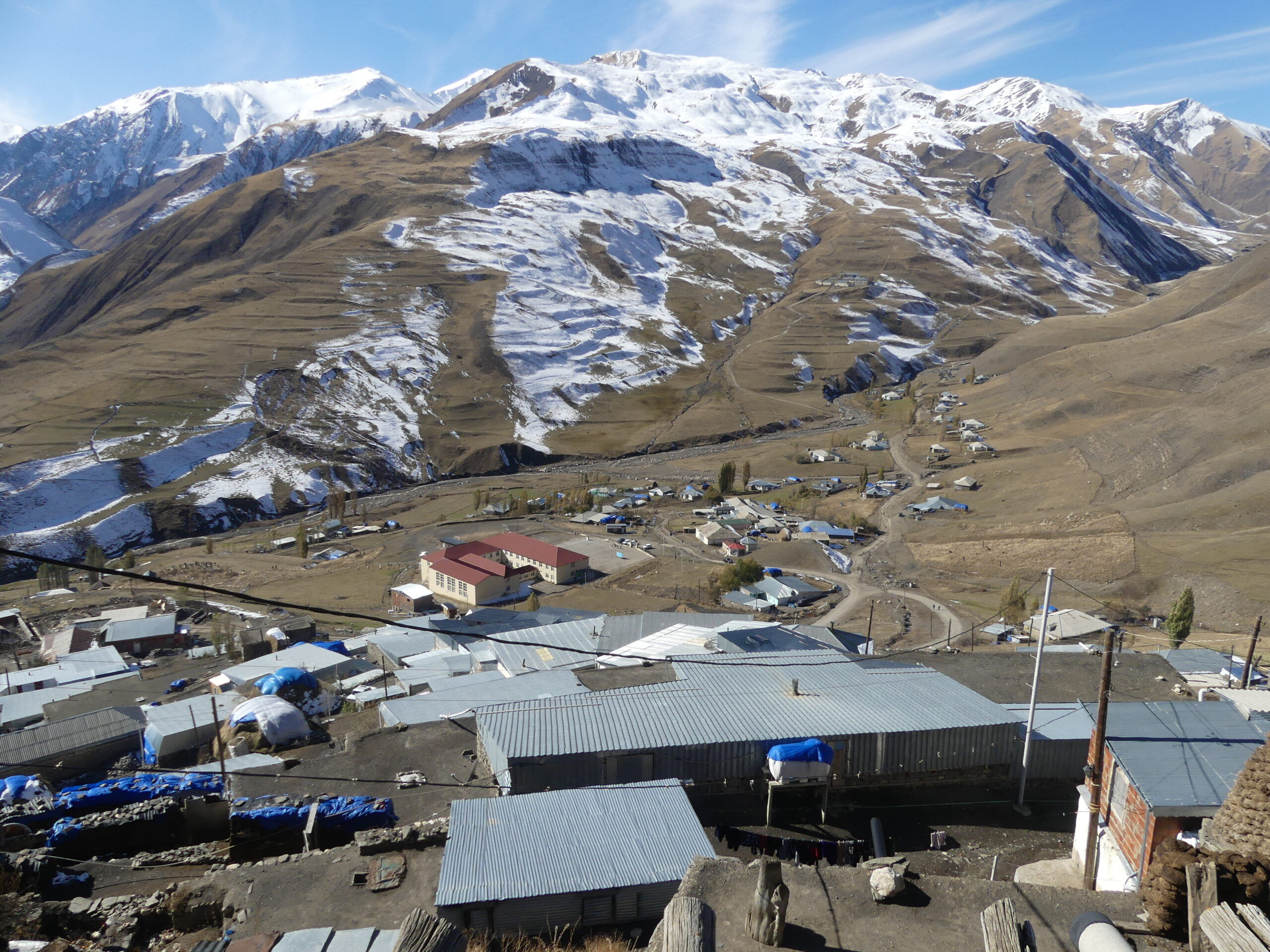
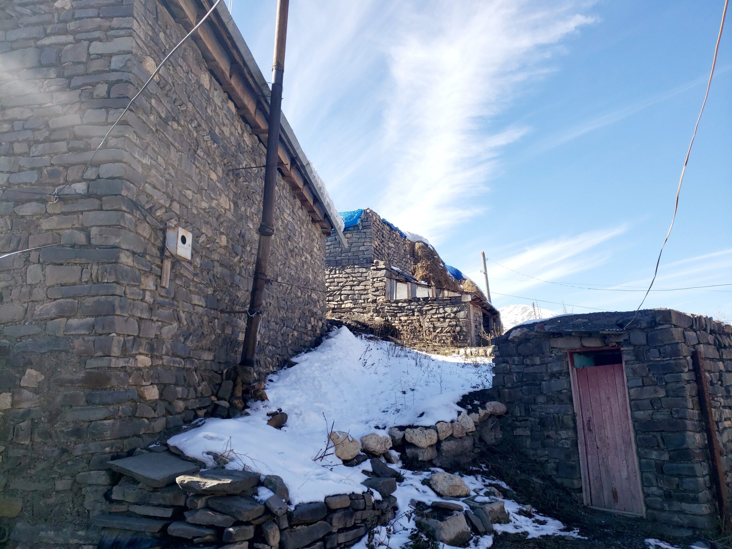
At about 2200 meters in altitude (7200 feet), Xinaliq is one of numerous mountain towns here, once so remote that they developed their own languages. Yet two people greeted us in our walkabout of the town – one, offering a place to stay for the night, spoke some English and the other, offering us tea and bread, some Russian. The very fine road we traveled now connects them more readily to the nearest city of Quba.
A view from the top of our end point, Xinaliq, toward a newer section of town, including that large beige building at center left, a busy school. We were told that fog regularly encircles the town up here. We enjoyed the bright clear day instead.
This is an agricultural community, mainly grazing sheep, from which they make a well-known cheese promoted at shops down valley at Quba. With winter near and grasses depleted, huge mounds of hay filled yards near the homes.
Typical stone structures in the older part of Xinaliq. The building on the right that looks like an outhouse actually is one. That Russian speaker offered it for our use along with tea. We did use it.
Ridge line along the road out of Xinaliq.
(To enlarge any picture above, click on it. Also, for more pictures from Azerbaijan, CLICK HERE to view the slideshow at the end of the itinerary page.)


