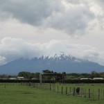
Maori legends tell that the Whanganui River formed as a result of a love triangle among volcanoes.
Mount Taranaki once lived next to three kinsman in the center of the North Island, his fellow volcanoes Ruapehu, Ngauruhoe and Tongariro. But he fell in love with the nearby lovely, green-clad Mount Pihanga whom Tongariro also loved. The rivals fought, spewing smoke and hurling rock into the sky. Pihanga chose to stay by Tongariro, putting Taranaki into rage and despair. So he dragged himself away to the west, clawing out the gorges of the Whanganui River which filled with water from Tongariro’s side.
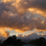
Proud Taranaki, they say, still laments his loss of Pihanga. When he is cloud covered, he weeps for Pihanga; when he blazes in the sunset, he preens once more for her. But Tongariro and the other mountains erupt occasionally to warn him not to return to their domain.
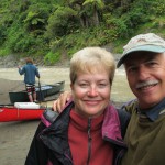
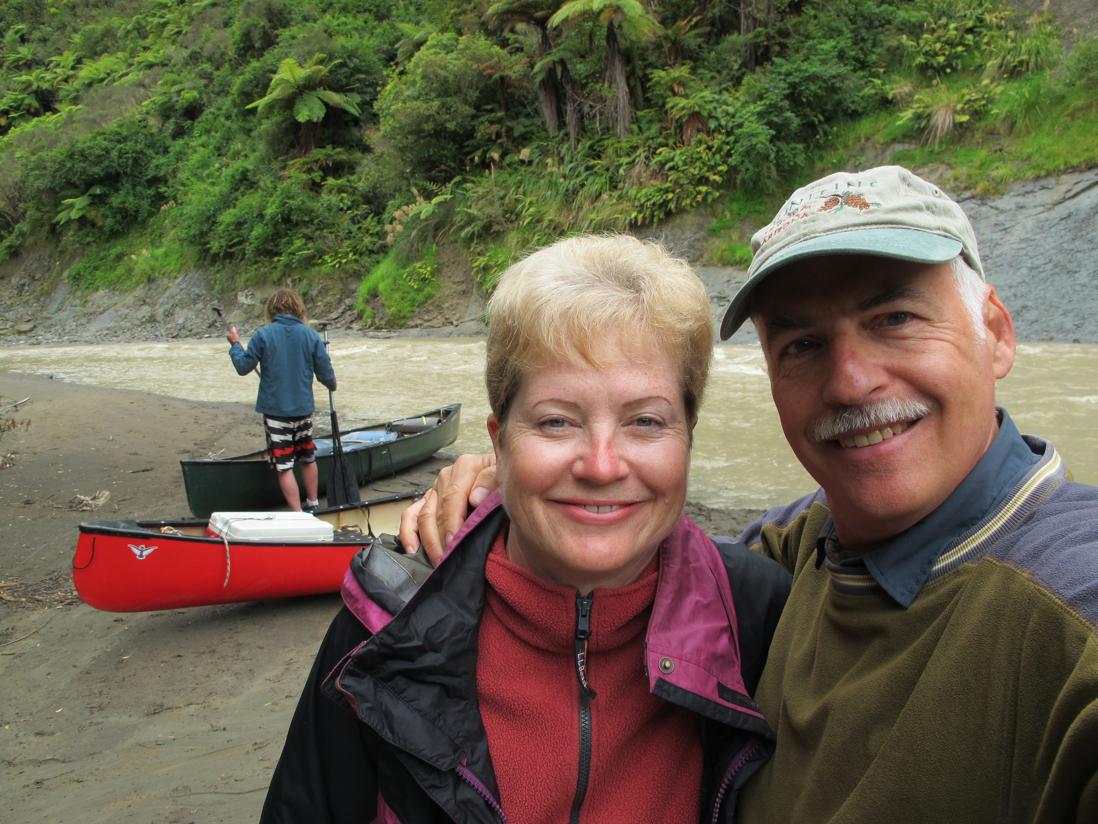
The solitude that characterized our canoe trip down the Whanganui was a lot more sanguine. For three days, we had 55 miles, or 88 kilometers, of this river to ourselves. We travelled during a quiet mid-week of early season November, missing other parties that started their own journey a day or two apart. The dismal weather forecast, which happily proved inaccurate, also deterred many. The river is mostly inaccessible. No roads come anywhere near it in this extent, and only very lengthy trails get to it. Lower downriver, a sealed asphalt road follows a still charming portion of the river, but there you see more of farmland than native bush and forest.
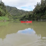
That’s why travelling these 55 miles is considered one of the nine Great Walks in New Zealand, the only one you can’t actually walk. We figure we will have done all or part of seven of them by the time we depart the country. But this was the first we have done in such splendid isolation.
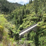
This is not quite the river Tongariro filled up after Taranaki’s departure. Over the last 100 years, settlers tried to farm the deep reaches above it, carving roads no longer accessible and dredging the river so that steamships could transport goods to and fro. Now occasional jet boats roar up the bottom portion of our 55 miles, a half-day cruise for the less hardy, so they too can see this great river. Their destination, typically, is an easy walk to the Bridge to Nowhere, a 1930s relic of the hoped-for road links to markets and the settlers’ aspirations.
More recently, in its efforts to re-generate native vegetation and wildlife, the country has taken aim at troublesome plants and pests like rodents and possums. For the latter, it spreads a poison called 1080 (a form of sodium fluoroacetate). Often that’s placed in traps, but it’s also regularly spread in airdrops of pellets or sprays. Inevitably these must drain into the water. According to some, 1080 is safe and biodegradable; according to others, it’s a horror despoiling the land and the river. You don’t find people fishing in this river, and we certainly weren’t about to drink the water.
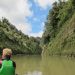
Controversy aside, however, the landscape has gradually returned to a state more recognizable by the 18th century Maori than 20th century farmers. In your canoe, you pass through a tranquil lost world, with nothing but the trilling of native birds and swish-splash of paddles for most of the journey.
You see myriad waterfalls dropping down the steep-sloped hillsides around you. These are not large ones that have names, but offer so many different looks and sounds, tuned by the channel they’ve cut from land to water. In one stretch, you’ll hear one waterfall booming out of a cleft cavern, surprisingly slight for its bold sound. Across the way, you hear the plopping of a light rainfall as a stream filters through moss into droplets. Downstream, a constant gurgle like a toilet flush, or hissing as water slides along a sheer rock face.
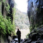
You can even beach your canoe in many spots and climb the banks to view caves hollowed over time from the volcanic rock, some hiding their own waterfalls, some offering mud pools to play around in.
Not surprisingly, in this placid isolation, you return mentally to a primordial state of calm and awe. The main interruption of this peace, though, is your heart, pounding with adrenalin as you navigate another of the river’s rapids.
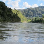
By river rafting standards, these rapids aren’t much; but, for amateur canoers who have to figure out how to control the boat’s passage, they provide a quick-paced reminder of nature’s threats as well as beauty. We did pretty well, never swamping the boat, and we got pretty good at handling the sweeping currents and eddies caused by the river’s steeper descents, bends and obstacles. On the third day, we did well to push through the biggest rapids and just slipped by the Wave, or the 50-50 as its known for the probabilities of getting through. At the last rapid, we filled the boat with water from a roaring set of waves, but arrived relieved and mostly dry at the put-out point in Pipariki.
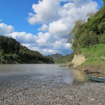
This isolation from everyday life also brings you back to the basics of outdoor living. On each of the two nights, we had been scheduled to camp on accessible terraces above the river, but our guide took the threatening forecast seriously and booked us into two Department of Conservation huts near the campsites. Of course, we carried all our food , clothing and supplies with us in the canoe, but had to personally carry it up the 50-foot banks to the hut sites. We could still enjoy the cold of night, the sounds of the calling Kiwis and sleeping bags for beds. But we touched civilized life a bit more with the gas-fired stoves and running water of the kitchens, the mattress-covered bunk beds on which to lay our sleeping bags and cheery fires in the wood stove to warm the dining hall. Not quite roughing it as you would if you backpacked to huts like this on the other Great Walks, but perhaps more like the rough lives of the early settlers here.
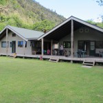
We were again the only visitors at the huts, other than the summer caretakers. Many of them are volunteers who help to make hut stays pleasant; other regulars fit the river more. One looked like a scraggly mountain man, slightly deaf but gregarious, with a raspy smoker’s voice. He talked simply as if the ever-flowing river and wild environment had swept complexity out of his head. For amusement, on slow days, and “to keep his mind alert” he puzzled out the words hidden in word search grids. His stories were mainly of food given him: the venison supplied by owners of the Disney-fied huts across the river, the extra beef hauled downriver by canoe guides earlier in the week and the full BBQ set up by a 21-soldier canoe flotilla that had camped nearby the previous week.
Wearied from the day’s canoeing, and pleased to be by ourselves, we slept well at the huts, with their balance of outdoor roughness and civilized amenities. We dreamed of slow movement and a pre-historic past, of sudden rapids and calming waterfalls. On the second night, we recalled the solar eclipse we viewed that morning through the filtering clouds above the river – and the Maori legends of how this river came to be. For a few hours, the solitary moon had danced celestially with the solitary sun. Now they too were apart, as Taranaki to our west had parted from the lovely Pihanga and her lover Tongariro to the east.
—-
Here’s a brief video with a charming retelling of the Taranaki story:
(Also, for more pictures from New Zealand, CLICK HERE to view the slideshow at the end of the New Zealand itinerary page.)


I’m loving your travelogue. It’s like a history and geography lesson all in one. Your writing is so vivid, I can almost feel what you feel.
Thank you so much for your nice comments. Sometimes, like the river, the spirit moves; when it does, it’s thrilling to know it was well shared.